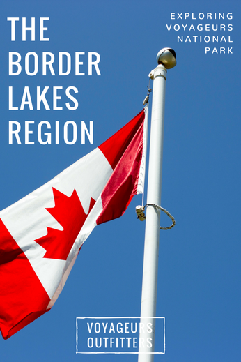
LIFE ON AN INTERNATIONAL BORDER

Here on Rainy Lake in Voyageurs National Park, we share one of the longest and most beautiful unsecured International borders in the world. We have peacefully shared this border with our neighbor to the North (Canada) for over 150 years. This border represents the wonderful relationship between the two countries and has been a model for peacefully negotiated treaties throughout the world.
Along the 1,500-mile border, which is made up of 40% water, you will find 20% of the world’s freshwater supply. From creeks and streams that are only a few inches deep to vast lakes over 1000 feet deep our International border is one of the most diverse and scenic on the planet.

Throughout the years there have been three major treaties dictating the usage of the border between the United States and Canada.
- The first of these treaties to begin establishing the border was the Jay treaty of 1794. Negotiated by John Jay between the United States and Great Britain (Canada was yet to be an independent nation) it resolved many issues remaining from the Treaty of Paris in 1783, which ended the Revolutionary War. Article 3 of the Jay treaty set forth wording that would lead to subsequent treaties involving the border of the U.S. and Canada. Article III states, “It is agreed, that it shall at all times be free to His Majesty’s subjects, and to the citizens of the United States, and also to the Indians dwelling on either side of the said boundary line, freely to pass and repass, by land or inland navigation into the respective territories and countries of the two parties on the continent of America, (the country within the limits of the Hudson’s Bay Company only excepted)… and freely carry on trade and commerce with each other.” Article III of the Jay Treaty declared the right of Indians, American citizens, and Canadian subjects to trade and travel between the United States and Canada, which was then a territory of Great Britain.
- The second major treaty concerning the border was the Webster Ashburn treaty of 1842. This established the border across Lake Superior, the border lakes regions of Minnesota and Ontario, and west along the 49th parallel west to the Pacific Ocean. The border to the north of Voyageurs National Park dividing Minnesota and Ontario was created by following the historical route of the French-Canadian Voyageurs. This route was of course taught to them by the first nations people, Ojibwe, Cree, and Chippewa, that had used these routes for centuries. And even before them the water routes were used by the pre-historic Laurel Indians who inhabited the border region 10,000 years ago. The Webster Ashburn treaty stated that, during normal navigation along this historical route one could cross the border unobstructed and with out need of permission.
- The third major treaty concerning the border lakes region was the boundary waters treaty of 1909. This was written to update the Webster Ashburn treaty and to address water related issues and commerce along the international border. The treaty of 1909 set up the international joint commission (IJC). The IJC governs all of the water levels and ecological issues along the border. It reaffirmed much of what the earlier treaties stated and updated the wording to accommodate modern ships and watercraft.
Today the border is used by a diverse group of stakeholders on Rainy Lake, Rainy River, Lake of the Woods, Lake Superior, and across the borderland of northwestern Ontario and Northern Minnesota. These user groups include but are not limited to:
- Indigenous or first nations people who have used these waters for millennia and far before there was ever a border continue to use the border today visiting their sacred sites, harvesting wild rice or Menomin, and practicing traditions handed down throughout out the centuries.
- Fisher men and women seek out walleye and sauger on lake of the woods, trophy northern pike and muskie on rainy lake, small mouth bass on sand point and namakan, and lake trout and freshwater salmon on Lake Superior. Fish are harvested commercially as well during winter spring summer and fall.
- Another user group of the border between Ontario and northern Minnesota are the seasonal cottage owners on the various lakes. Many of the cottages on the Canadian side of rainy lake are in fact owned by Americans who use these cottages primarily in the summer, spring, and fall. Because of the negotiated treaties, crossing the border comes with ease.
- Tour guides taking people on sight seeing excursions, bird watching trips, wildlife viewing adventures, fall color tours, canoe and kayak trips, and historical tours represents another group that enjoys are shared border. Because of the rich history of the area, and the incredible biodiversity of flora and fauna, these tours have become increasingly popular. Chances to see bear, wolf, moose, deer, eagles, and loons is ever more common.
The border lakes region is truly an amazing place that we share with our Canadian counterparts and should not be taken for granted. The hard work of many folks throughout the years has helped make this place protected while still remaining easy to access. Voyageurs Outfitters can help you plan your trip along the border and help you make the most of your time while partaking in the splendor of Voyageurs National Park.
